 |
The
Parish of Cartmel |
|
|
|
The
Parish of Cartmel |
|
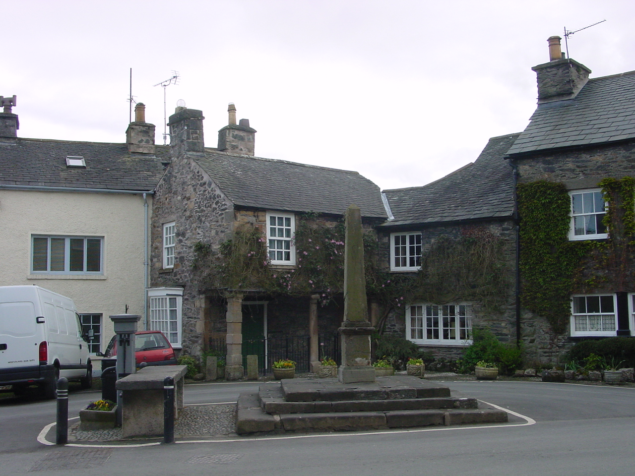
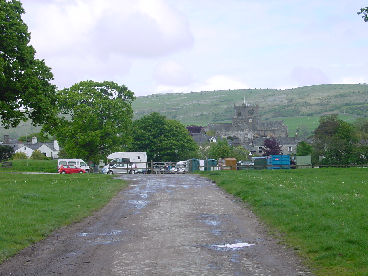
The ancient village of Cartmel is located close to Grange over Sands on the southern extreme of the Lake District. It is famous for its 12th Century Priory, with its beautiful stained glass windows, modern sculptures, and ancient choir stalls.
The Parish of Cartmel contains the townships of Upper and Lower Allithwaite, Broughton East, Cartmel Fell, Upper and Lower Holker and Staveley.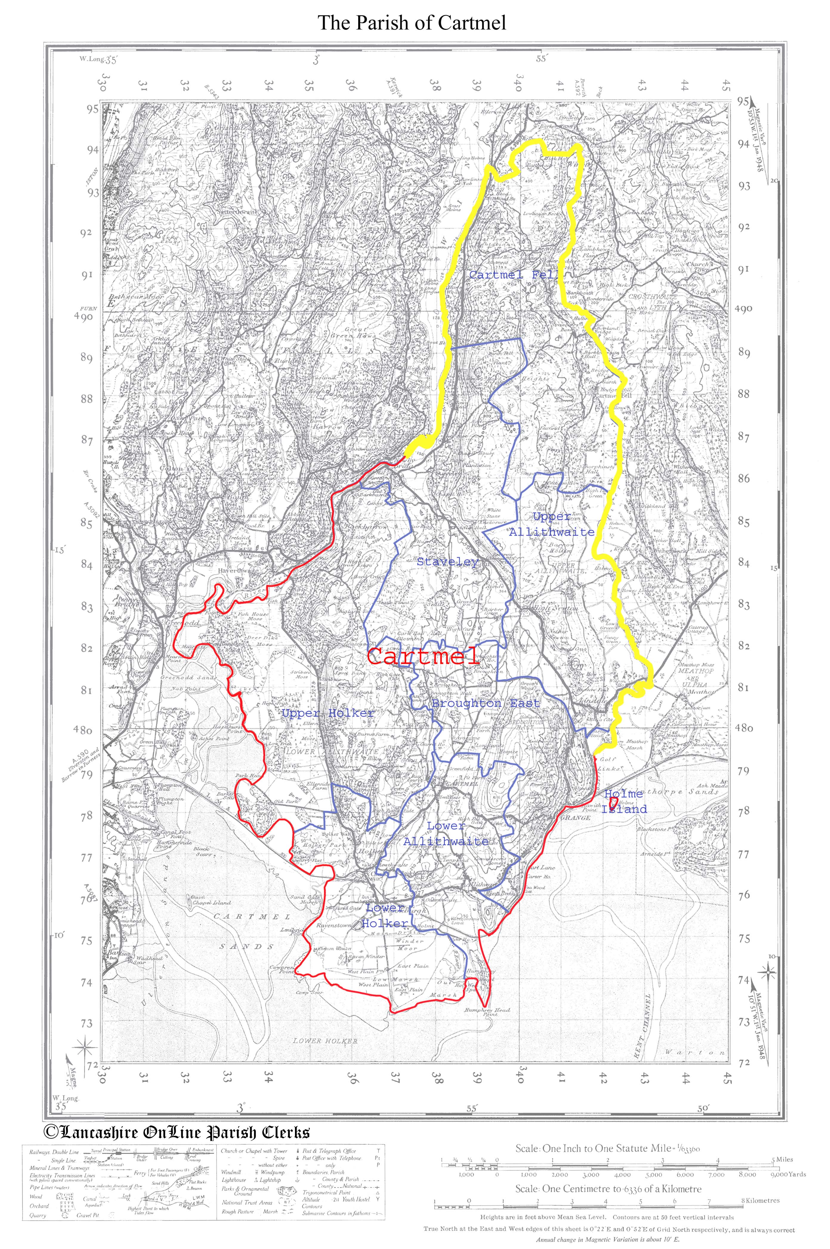 | |
This map has been created from
Historic Parishes of England and Wales: an Electronic Map of Boundaries before 1850
By Kain, R.J.P., Oliver, R.R., University of Exeter. School of Geography and Archaeology, 17 May 2001
Distributed by: History Data Service, UK Data Archive, University of Essex, Colchester.
The Map of the Parish of Cartmel shows the townships. The County boundary is marked in yellow, the Parish boundaries and names are marked in red while the boundaries between the individual townships along with their names are marked in blue.
A higher resolution version of this map is available by clicking the the map above. To save to your computer, right click and select "Save Target/Link As".
 | |
 | |
| Cartmel Home & Contents | ©Lancashire OnLine Parish Clerks | Lancashire Home |