 |
The
Parish of Ashton under Lyne |
|
|
|
The
Parish of Ashton under Lyne |
|
|
The area around the town of Ashton has produced evidence of Stone and Bronze Age activity but it is generally thought to have developed from a fortification on the North bank of the River Tame. This fortification stood at a prime position overlooking the River Tame which formed a boundary between the Kingdoms of Northumberland and Mercia during the Anglo-Saxon era around the 7th Century. Over the centuries, the settlement developed into a village and then a market town. The surrounding hills supported sheep and the cottage industry of wool spinning, whilst the damp climate also supported the spinning of cotton. A small amount of coal mining took place, and the eventual construction of canals and the introduction of the railways enhanced the area’s viability as a commercial entity. |
 Ashton Canal, 1984
![Creative Commons Licence [Some Rights Reserved]](http://creativecommons.org/images/public/somerights20.gif) © Copyright
Robin Webster
and licensed for reuse under this
Creative Commons Licence © Copyright
Robin Webster
and licensed for reuse under this
Creative Commons Licence
|
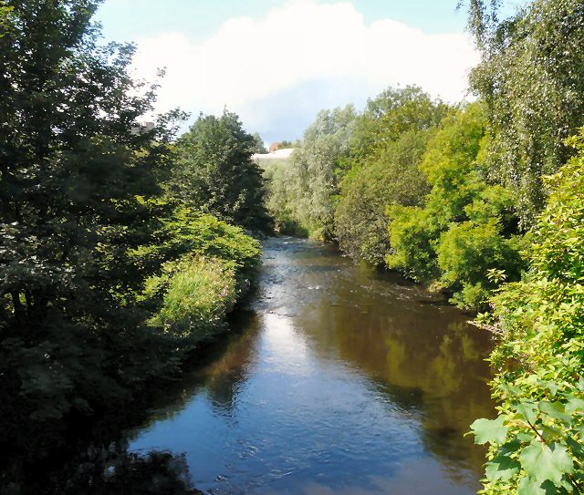 River Tame © Copyright
Gerald England
and licensed for reuse under this
River Tame © Copyright
Gerald England
and licensed for reuse under thisCreative Commons Licence |
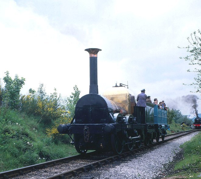 Sheffield, Ashton-under-Lyne and Manchester Railway Photograph by kind permission and © of Peter Todd |
| Ashton under Lyne Home & Contents | ©Lancashire OnLine Parish Clerks | Lancashire Home |